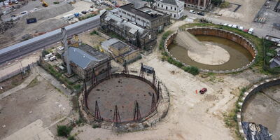
King's Road Park - Gasworks Redevelopment
View project
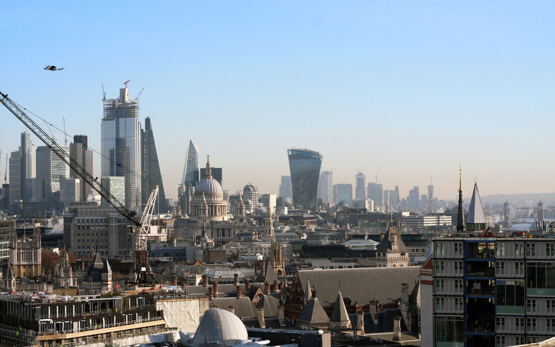
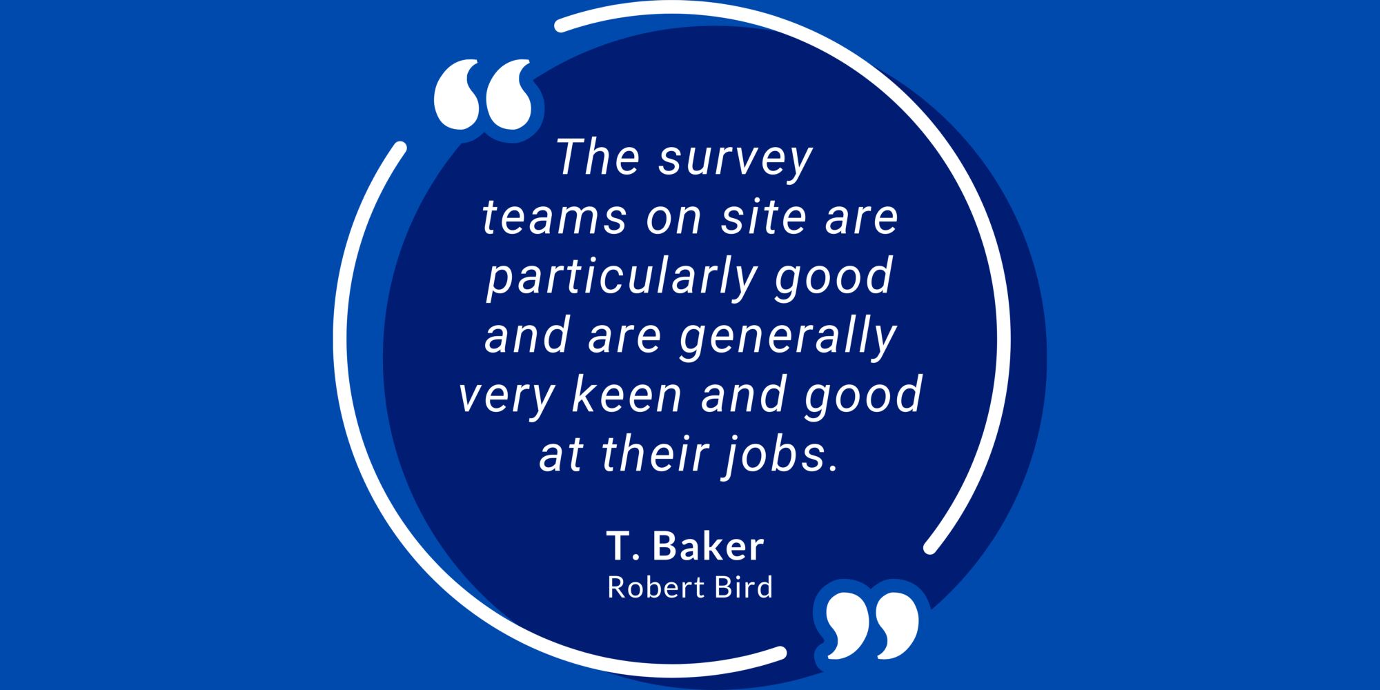
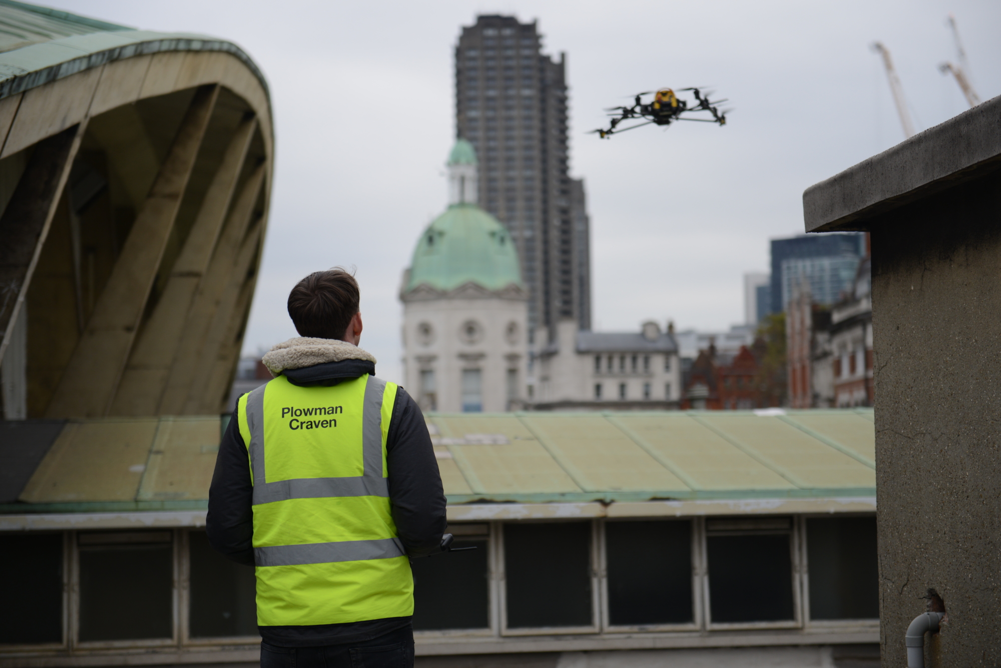
Using state-of-the-art aircraft and high-resolution cameras, Plowman Craven’s highly-trained pilots are fully certified by the Civil Aviation Authority to conduct drone surveys in even the most congested areas. With take-off clearance at just 5m and an in-flight clearance of 20m, we're used to operating in complex and challenging environments, collecting the accurate data required for our topographic surveys, 3D building models, property condition and inspection surveys.
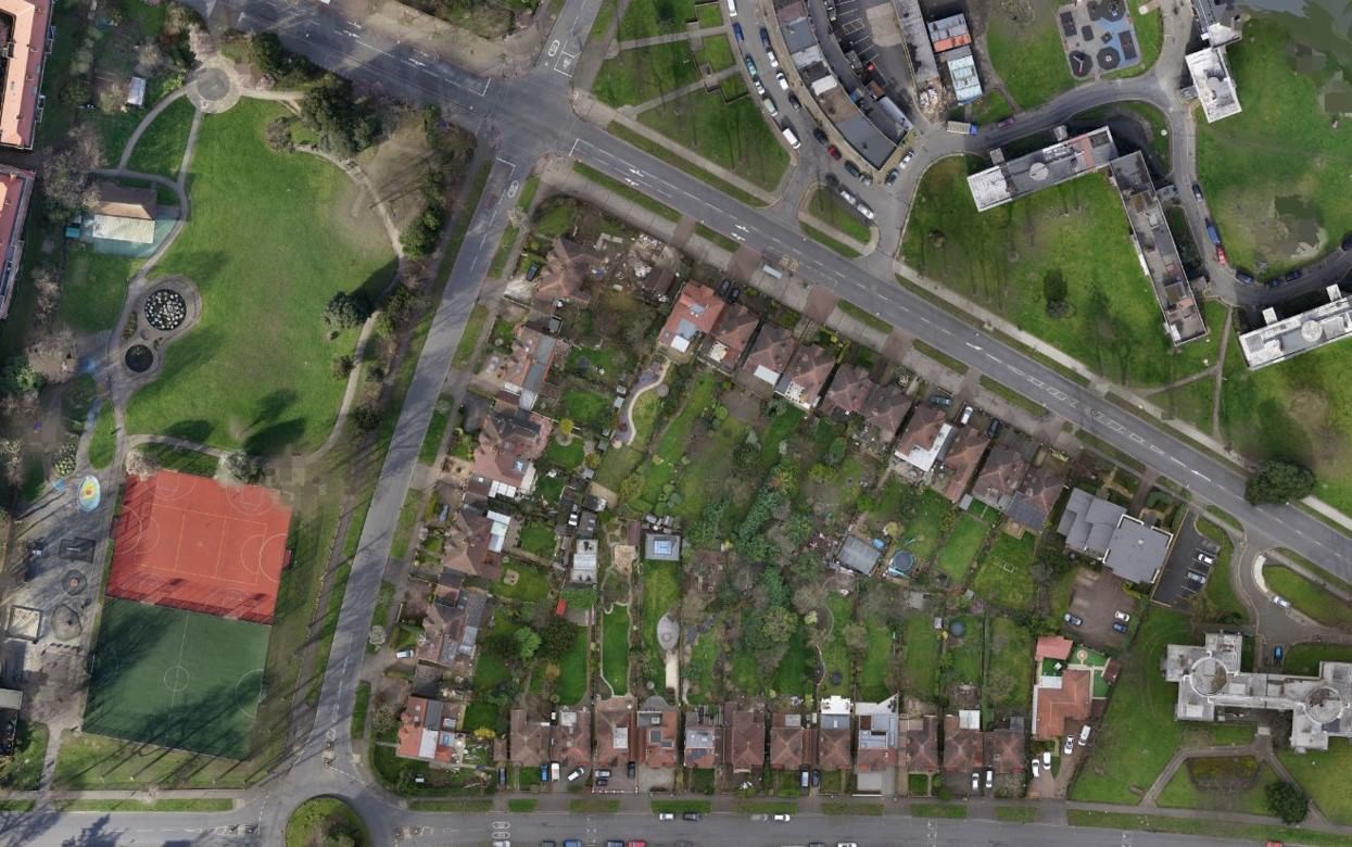
Our drone survey division captures highly-accurate geospatial survey data and high-resolution imagery.
Working closely with our Property Development and Property Management teams, our UAS division captures highly-accurate geospatial survey data and high-resolution imagery from even the most challenging or inaccessible locations - with drone surveys taking a fraction of the time of traditional survey methods.
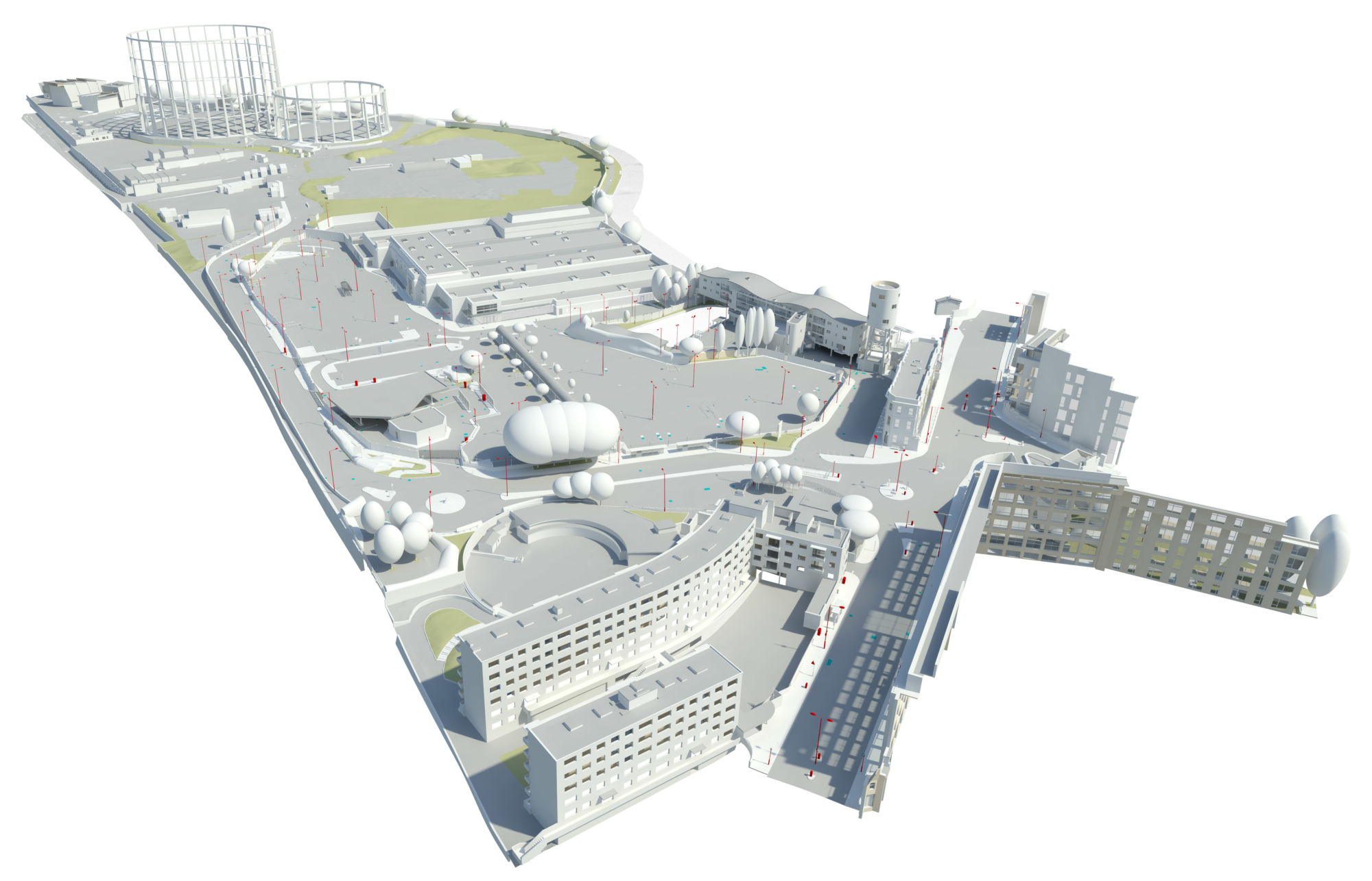
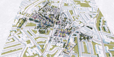
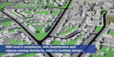
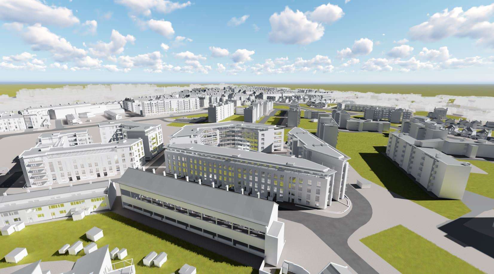
Enhanced UAS data is seamlessly integrated into existing workflows throughout the project lifecycle, with services ranging from condition surveys, building elevations and topographical surveys to 3D drone mapping, Building Information Modelling (BIM), Health & Safety assessments and environmental assessments.
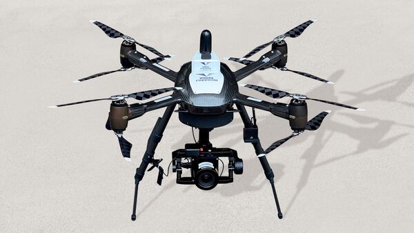
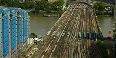
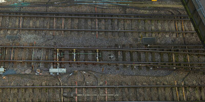
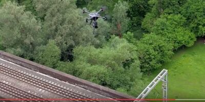
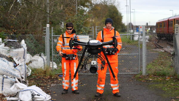
Our new Vogel Freedom system has revolutionised the surveying of railways and infrastructure, able to deliver sub-5mm accuracy from a position of safety.
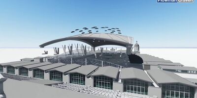
Recent UAS survey projects have included everything from listed buildings and Central London offices to historic Universities and residential housing estates, with work being carried out at Smithfield Poultry Market, Pembroke College Cambridge, Earls Court, Royal Brompton Hospital and even Tottenham Hotspur’s stadium roof… to name but a few.


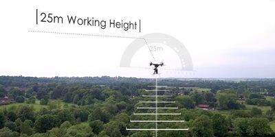
As one of the few companies in the UK to have Operational Safety Case (OSC) approval from the Civil Aviation Authority (CAA), we are authorised to use drones in even the most congested areas, including Central London. Having submitted a 280-page operating manual to the CAA, we are permitted to overfly people and property at a height of 25m, as well as taking off and landing from this distance. The basic CAA permission is 50m, which means we are able to capture much higher quality data.
Plowman Craven is continuing to push boundaries through a dedicated UAS division that uses the latest drone technology to provide high-accuracy surveying and inspection services to the property, rail and infrastructure markets.
Let’s discuss your requirements and see how our expertise in Drone Surveys for Property & Construction can help on your next project.
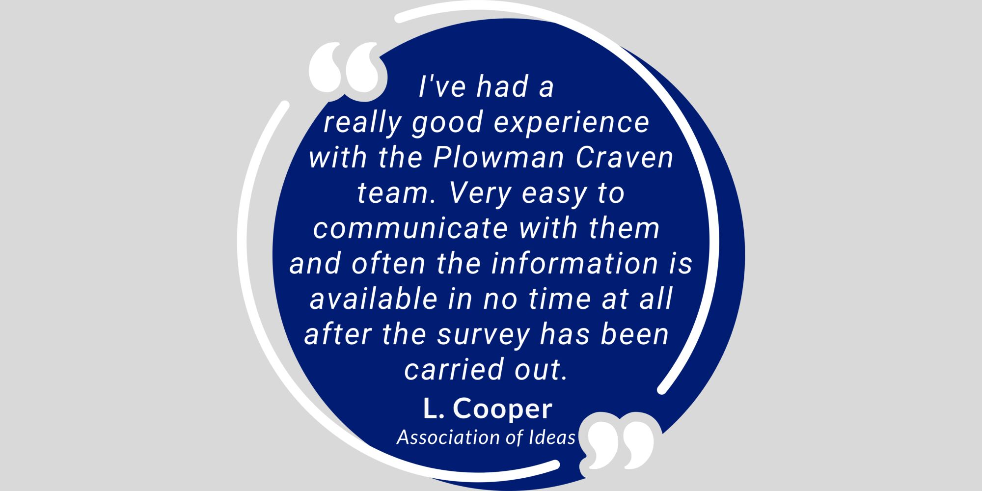
Plowman Craven has 60 years’ experience providing integrated measurement and consultancy services to the property and infrastructure markets.