Client
Network Rail S&C South Alliance
Case Study - Salfords Sidings

What’s the story?
Following a successful trial of the new Vogel R3D high-accuracy drone survey system at Network Rail’s Grange Sidings site in Stoke-on-Trent, Plowman Craven was commissioned to conduct a live survey job at Salfords Sidings in Surrey.
The Vogel R3D system consists of an industry-leading UAV platform and 100-megapixel camera that enables us to take hundreds of overlapping high-resolution images.
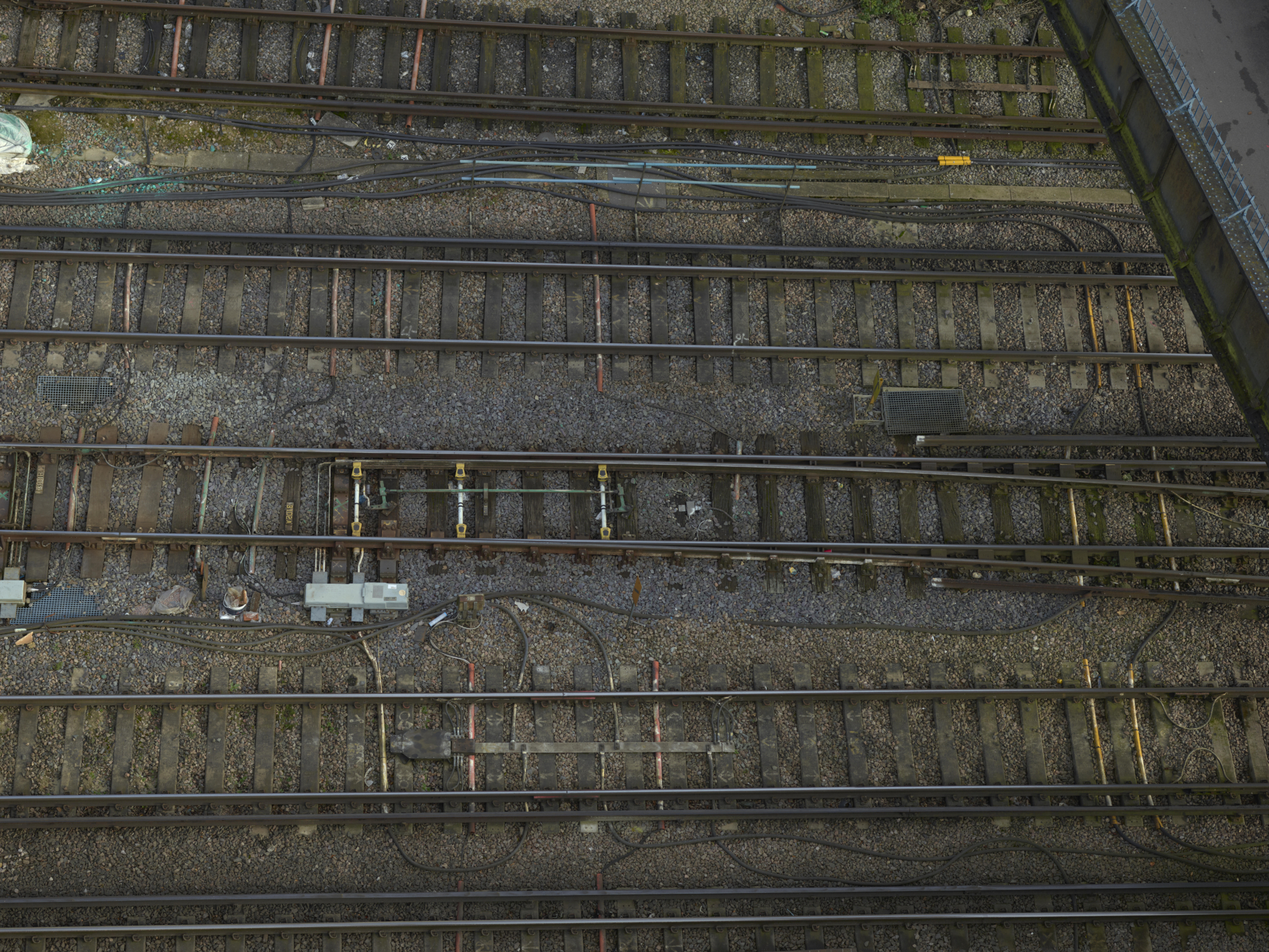
The purpose of the survey was to enable design work for S&C (Switches and Crossings) replacement at one of the busiest stretches of railway in the country. Located to the south of London, both the Thameslink and Gatwick Express 24-hour passenger services run through this 500m stretch, making access for traditional survey work extremely difficult. The site included four tracks, sidings and four S&C.


How did we do it?
A survey control network was created, with a survey grid related to the OS National Grid and Datum. Survey Control and UAV control was established in the cess (the bit at the side of the track).
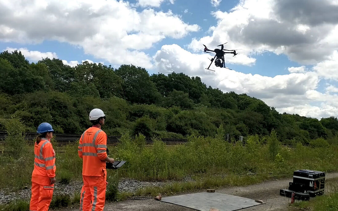
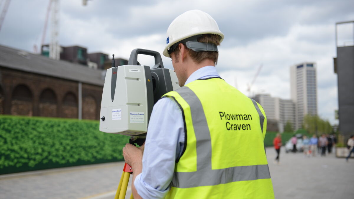
Flying at a working height of 25m, our UAV team – comprising a pilot and a surveyor - then flew our Vogel R3D system over the live railway. The flight was conducted from a position of safety in a designated green zone with a site warden attendance. No track access or possession was required.
The Vogel R3D system consists of an industry-leading UAV platform and 100-megapixel camera that enables us to take hundreds of overlapping high-resolution images that can be used to create a wide range of image and data-based deliverables. Two days were spent establishing the survey and UAV controls, with a further two days spent flying in order to capture the required imagery. With processing taking a further two weeks, the entire project took just four weeks to complete.
Related documents
What did we deliver?
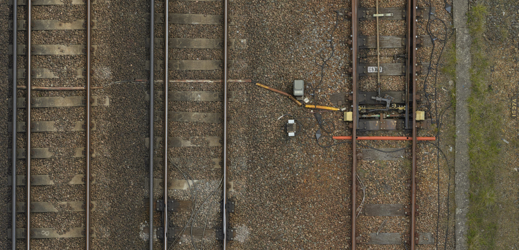
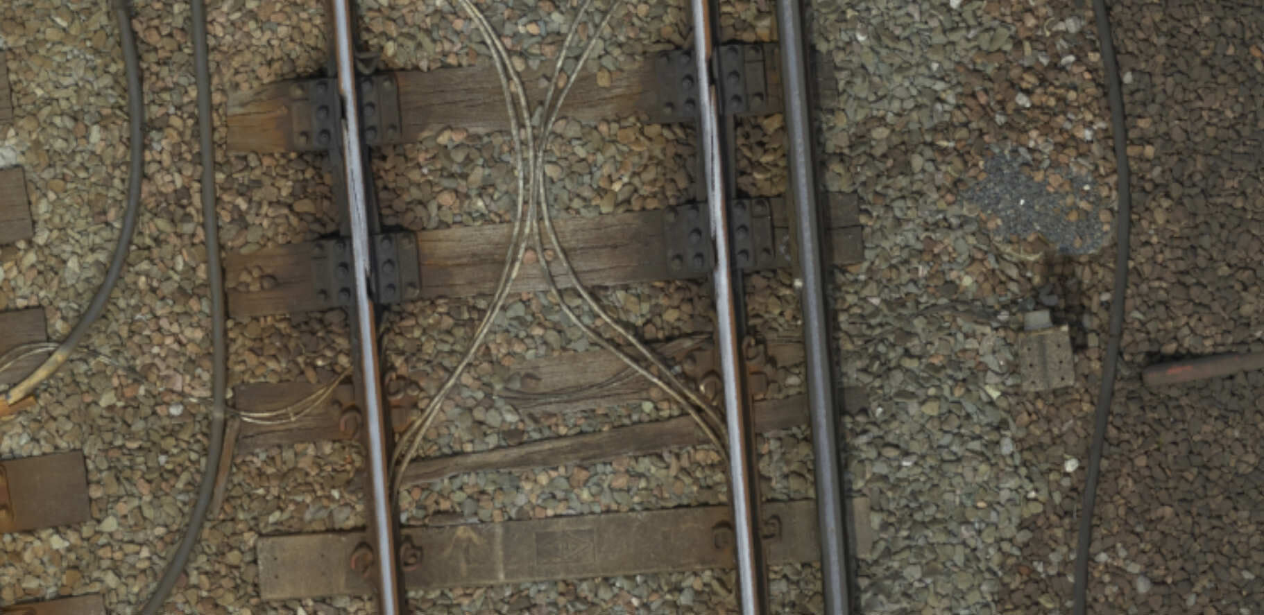
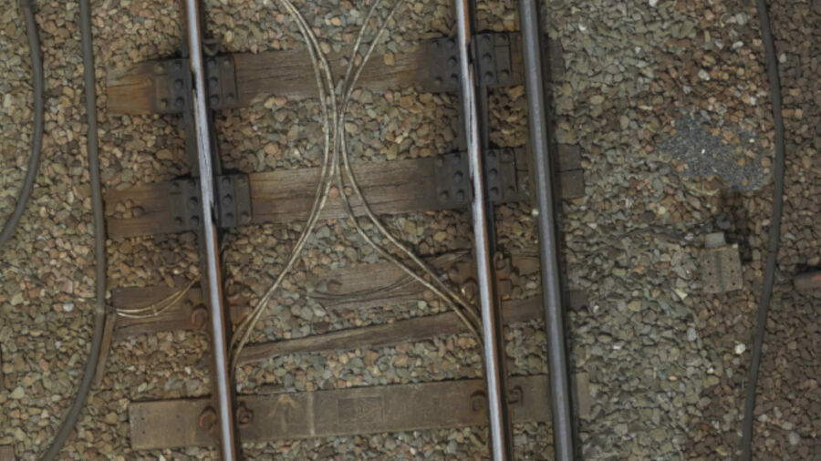
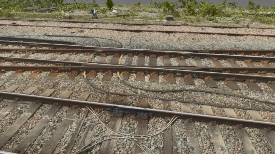
Orthophoto
Orthophoto – true-to-scale, high-resolution image with all distortions removed so that measurement can be taken and overlaid with CAD drawings.
TruView Global
TruView Global – similar to Google Street View, enabling users to take a virtual tour.
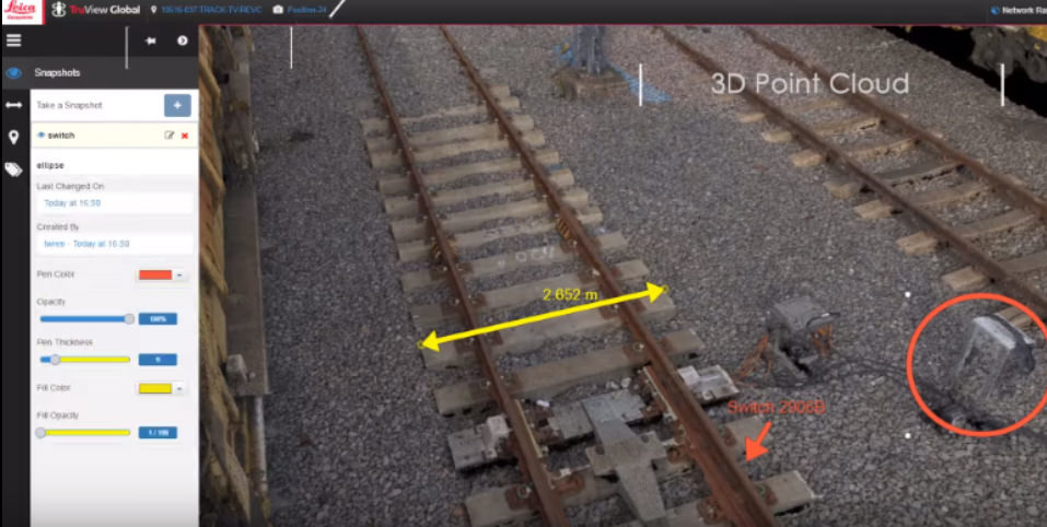
3D Point Cloud
Let’s discuss your requirements
Let’s discuss your requirements and see how our expertise will deliver trusted results throughout the project lifecycle.
Plowman Craven has more than 50 years’ experience, we provide integrated measurement and consultancy services.
