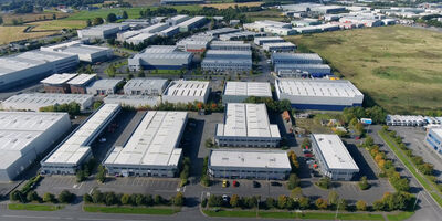
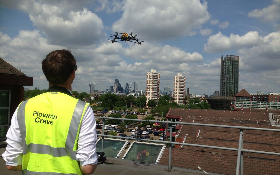
The Hub

The place to find everything from case studies and blogs to videos and brochures...

Digital Twin – Logistics and Industrial Properties White Paper

Explore how developing a digital twin of your logistic and industrial buildings using accurate geospatial data can offer a range of advantages.… Find out more

Plowman Craven elevates railway inspection with AI drone technology

Read article

Locating Sub-Surface Infrastructure with a Line & Level Correlation Survey

View project

Carbon Assessment Reports

View service

The Building Safety Bill and ESG White Paper

Find out more

The Arch Company

View project

Reality Capture and Digital Twin

View service

Property Management Latest...

Property Investment & Management

Find out more

IPMS (International Property Measurement Standard)

View service

© Poultry Market by Plowman Craven

Panoramic: Poultry Market

Using drones or UAVs (Unmanned Aerial Vehicles) to safely capture survey data brings a range of benefits and some fantastic deliverables. This 360-degree panoramic taken at Smithfield Poultry Market adds great detail to the condition report and enables the client to fully explore every inch of what is a highly inaccessible roof. Have a go and see for yourself...

Related content