In the Press:
High-Precision Photogrammetry: Introducing Vogel R3D
Published by Geomatics World
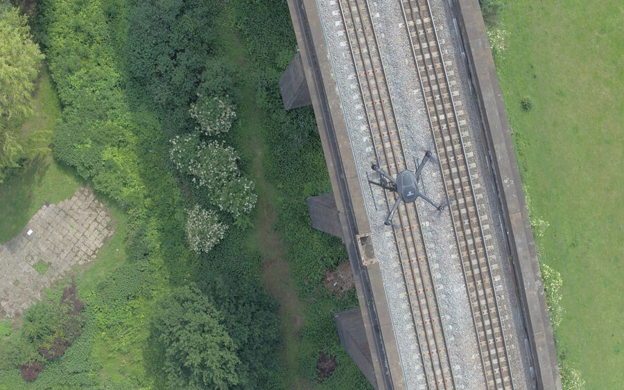
Traditional survey and inspection methods require track possessions to enable surveyors to manually measure and observe the entire track area using Total Stations, laser scanners or track-mounted measuring devices. Vogel R3D drone system changes all that.
If there was a defining moment, it came after cold, dark night in Manchester when we had to jostle our way through to take some measurements. On the way back, there was a weary consensus: there just had to be a better way of doing this.
High-Precision Photogrammetry: Introducing Vogel R3D, published by Geomatics World
