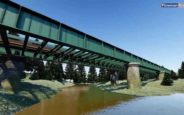
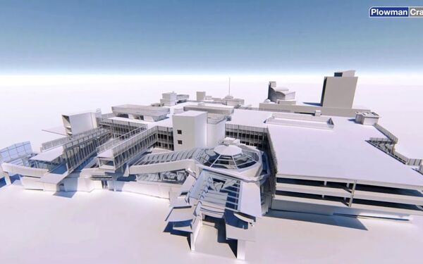
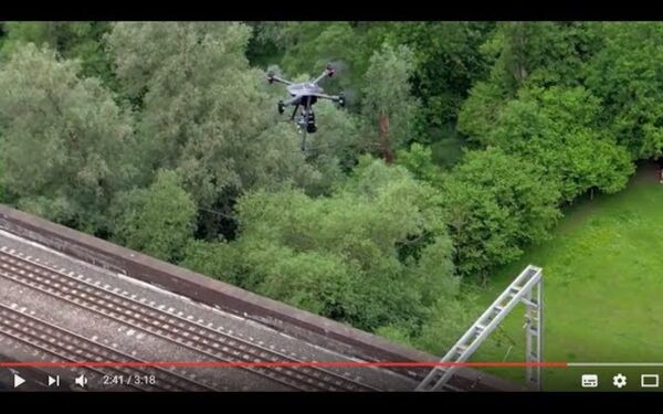
Video: Underground Utilities Survey BIM Model Flythrough
Nice animation from a recent job by the Plowman Craven utilities team. By digitising a combination of utilities survey data and terrestrial over-ground scanning, we can create a BIM model that helps visualise how the underground services interface with the topography...