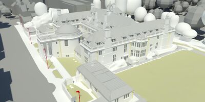
Rhodes House
View project
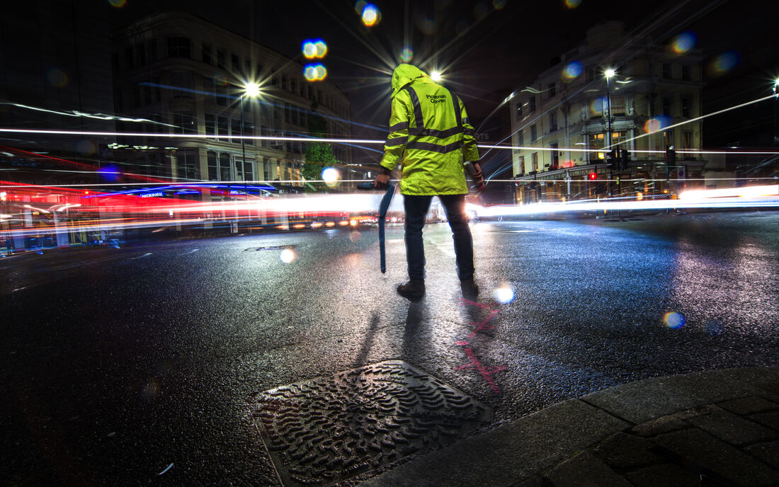
Pinpointing the exact location of utilities is vital when planning and undertaking both design and construction work. Underground Utilities Mapping and Topographical Surveys by Plowman Craven provide a comprehensive understanding of infrastructure above and below ground.
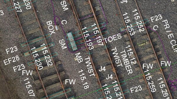
We offer a wide range of utility survey mapping solutions – locating, identifying and mapping all utilities and service routes including gas, water, telecommunications, electricity and drainage, using the latest innovative technology and tracing methods. We also offer statutory record searches (PAS128 QLD).
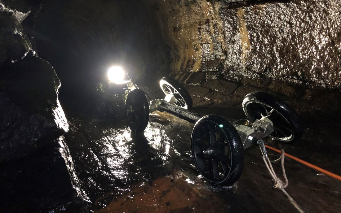
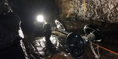
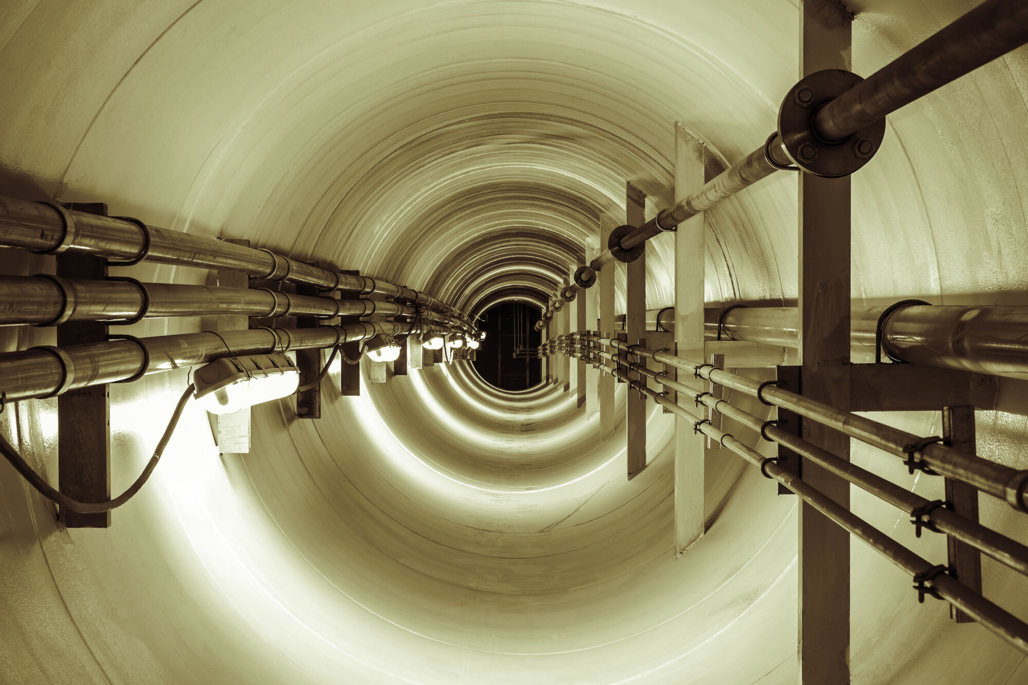
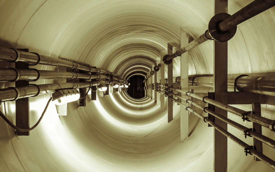
The Plowman Craven gyroscopic mapping service allows accurate tracing and mapping of underground pipelines, sewers, ducts and tunnels without the need for topside personnel to follow along the path of the pipeline to map the utilities.
The gyroscopic probe is autonomous, so it can travel to any depth and underneath any obstacle, such as rivers, railways, roads or buildings. This technology is not dependent on GPS technology while logging so it is ideal for these underground applications.
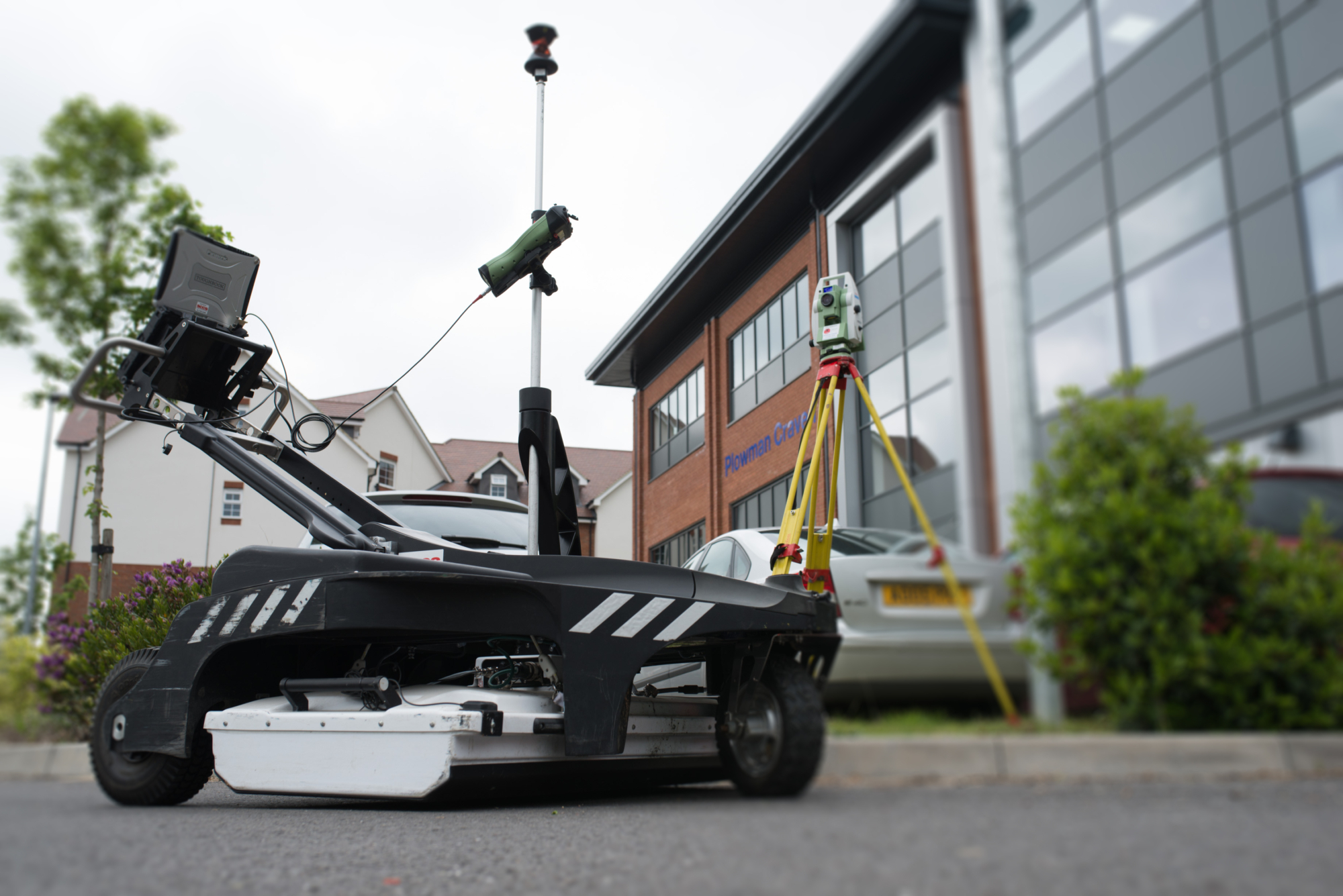
In conjunction with the more traditional GPR units and to keep traffic management requirements and congestion to a minimum, Plowman Craven adopts an innovative approach of using a Mass Array GPR mounted to a vehicle. Using this specialist vehicle means fieldwork is carried out quicker, with a reduction in traffic management costs with approval processes from the Local Authority reduced or removed. We can see significant program gains by using this method as we are capable of collecting significant amounts of data at high speed.
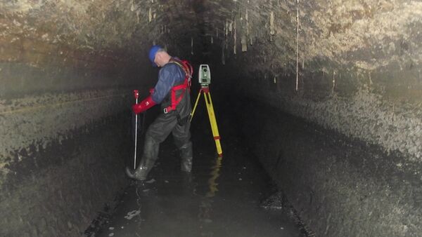
As the only Thames Water-approved survey company in the South-East, Plowman Craven can provide a range of sewer survey deliverables including Line & Level and Non Man-Entry surveys.
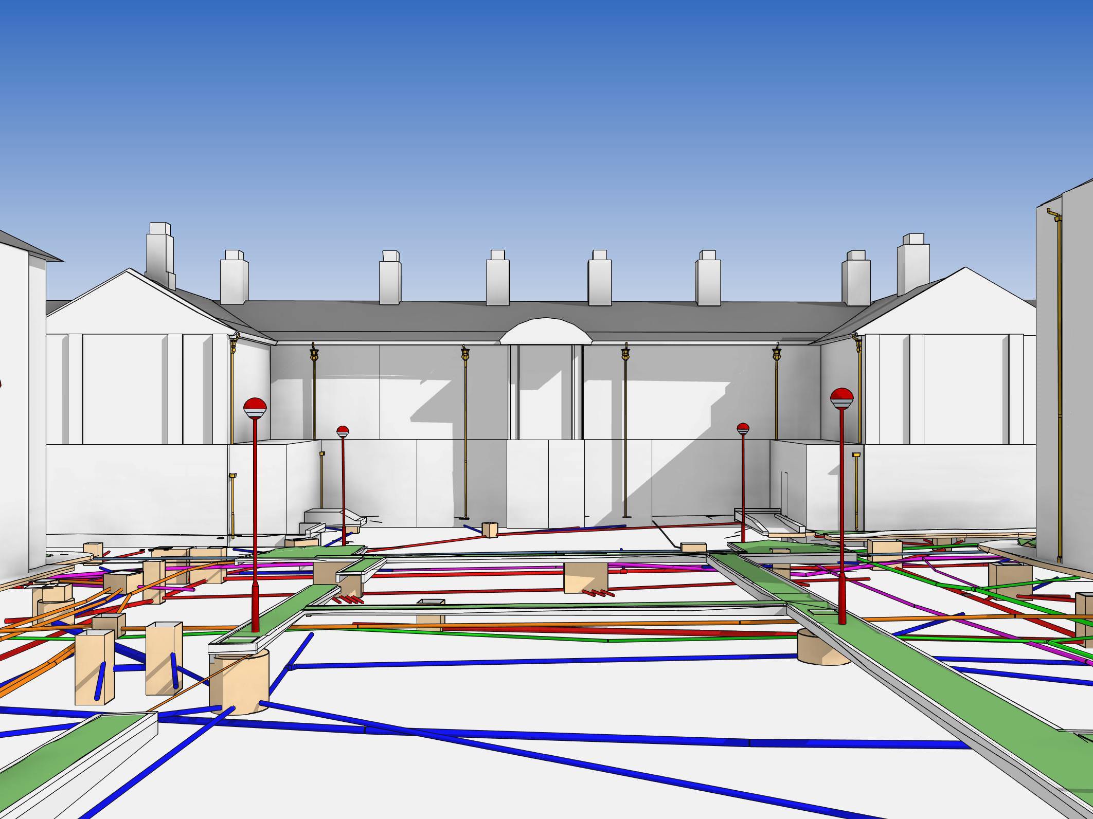
We also go beyond the traditional 2D mapping of services. When combined with our leading topographic surveying capabilities, our utility tracing methodologies provide a comprehensive 3D understanding of infrastructure above and below ground.
Producing topographical surveys for greenfield, brownfield and development sites, data is captured in either 2D or 3D using the latest Total Station, GPS, laser scanning and UAV technology, applying innovative terrestrial, mobile and aerial techniques.
Our utilities team uses a state-of-the-art dual frequency radar unit (IDS-Duo) that can simultaneously scan two different levels, enabling us to record depths of 0-1m (higher frequency) and 1-3m (lower frequency) at the same time, saving a great deal of time and money.
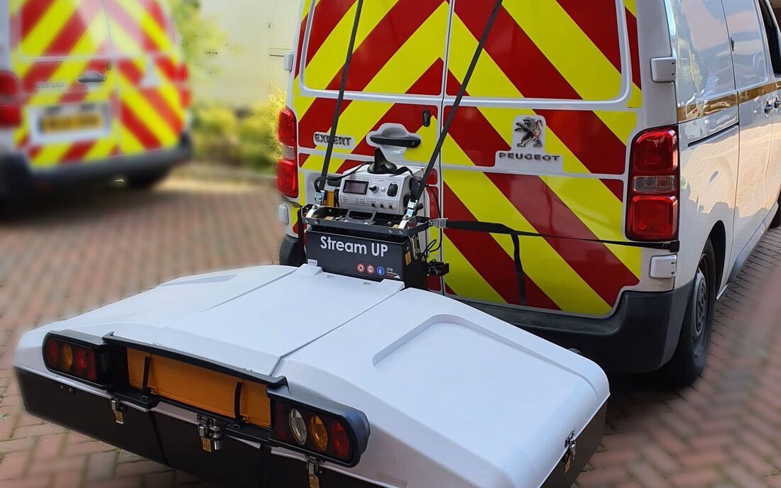
Our UGS teams also undertake CCTV condition survey of drainage networks, lifting all manhole covers to identify and measure the content using a high definition video camera that is inserted into each pipe, noting defects, blockages and damage encountered. The CCTV surveys are part of the UGS work but are delivered separately – as a series of videos, one for each run surveyed, and also as a report detailing the defects and condition.
Let’s discuss your requirements and see how our expertise in Underground Utilities Mapping can help on your next project.
Plowman Craven has more than 50 years’ experience providing integrated measurement and consultancy services to the property and infrastructure markets.