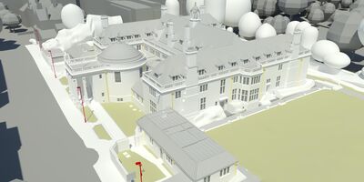
Rhodes House
View project
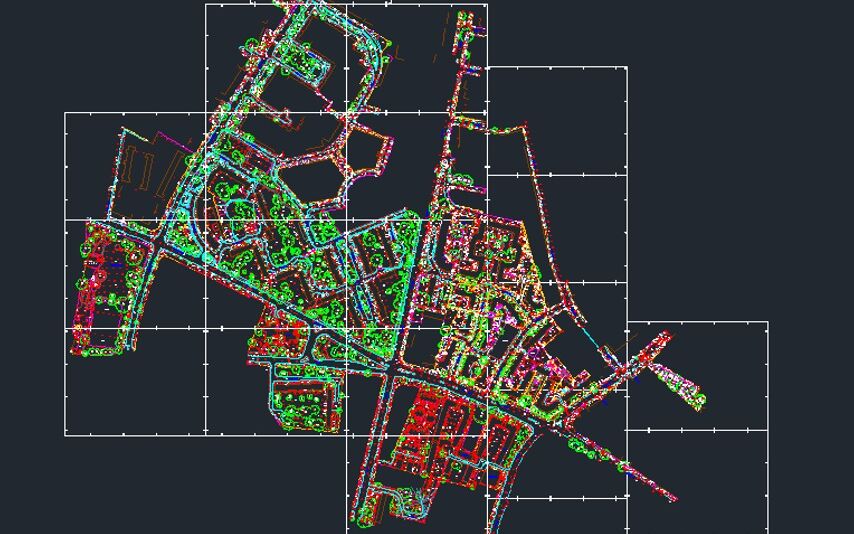
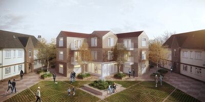
We’ve been involved on many of the UK’s major urban regeneration schemes including Brent Cross, White City, Earls Court, Kings Cross, Greenwich Peninsula, Elephant & Castle and Croydon.
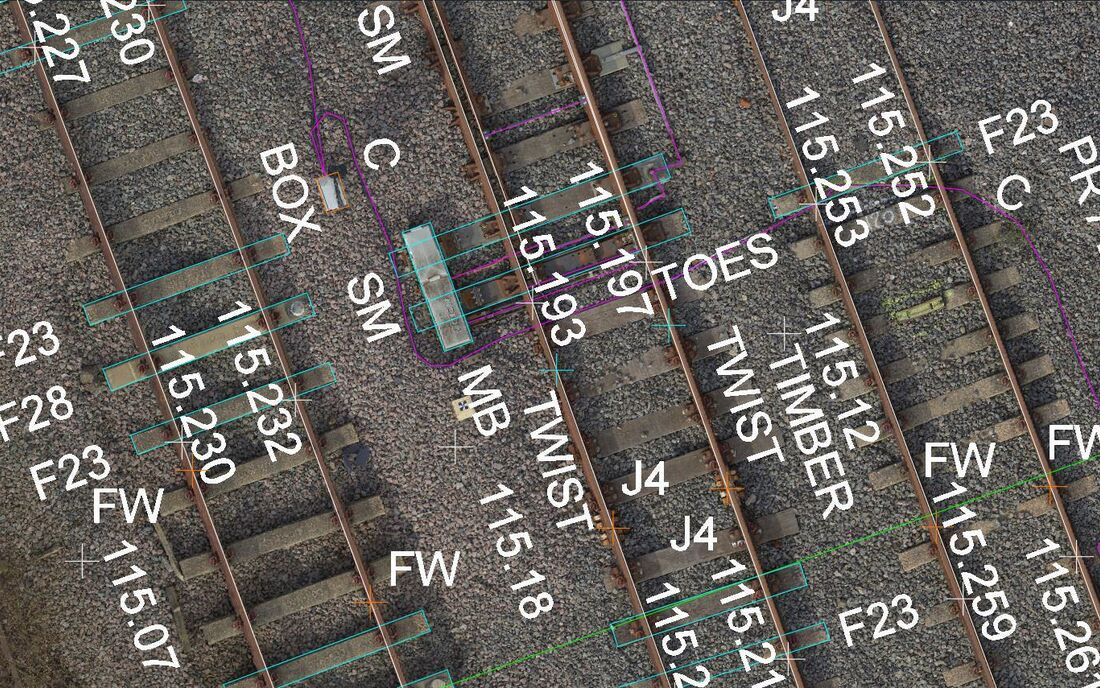
Producing topographical surveys for greenfield, brownfield and development sites, data is captured in either 2D or 3D using the latest Total Station, GPS, laser scanning and UAV technology, applying innovative terrestrial, mobile and aerial techniques.

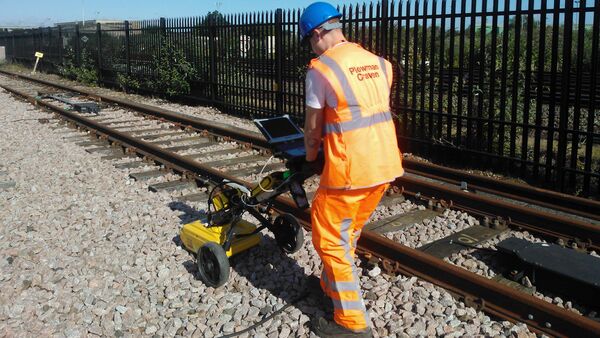
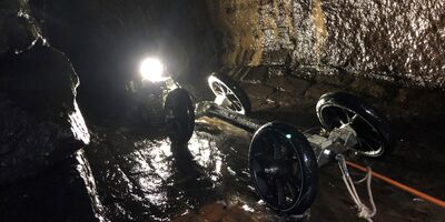
Our specialist in-house utilities division uses the latest technology to trace, identify and map all underground utilities and service routes including gas, water, telecoms, electricity and drainage.
Let’s discuss your requirements and see how our expertise in Topographical Surveys can help on your next project.
Plowman Craven has more than 50 years’ experience providing integrated measurement and consultancy services to the property and infrastructure markets.